
Mountain Conditions Roundup: Dec. 18, 2020
Powder Cloud’s “Mountain Conditions Roundup” highlights key areas in North America we’d consider skiing for Dec. 18, 2020. As always, have the proper training and gear. Prepare by utilizing your local avalanche forecast, resources, and weather information. Encourage teamwork. Develop a proper tour plan, utilize checklists and communication to travel safely in avalanche terrain, and reduce risk and consequences. Don’t forget to debrief after the day to reflect on and improve decision making. Travel safely and find the happiness.
WESTERN UNITED STATES
Except for northwest Washington, much of the Western U.S. was under the vise-like grip of a high-pressure ridge in early December. Last week the ridge broke down and many areas started receiving precipitation. More snow is forecasted for the rest of the week. However, in many regions the new snow is falling on a thin, weak, variable snowpack. With the new snow comes heightened avalanche concerns for many areas. As we write this, zones in northern Utah, Flathead, central and southwest Colorado, Sierras, Gallatins, and Tetons have raised their avalanche danger ratings. The one area (northwest Washington) that was getting snow in early December has heightened avalanche danger due to the prominent Dec. 9 crust, now buried 2 to 3 feet deep, which is a concerning persistent weak layer that avalanches are failing on.
We realize many are excited to hit the backcountry (for God’s sake, it’s our first COVID Christmas). Yet this is the time to be cautious. We encourage you to adopt a mindset of being grateful for the opportunity just to enjoy being out in the backcountry. Observe and build your knowledge of the snowpack safely. Ease into the season. Choose low-angle terrain and avoid the current avalanche problems in your area.

Aspen region and San Juan Mountains, Colorado
While most of Colorado is experiencing a bleak early season, the Aspen area (primarily the western portion) and San Juan Mountains have respectable snowpacks but with heightened avalanche concerns. The western portion of the Aspen zone has received significant snowfall from two systems that moved through the area over the last week. New snow fell on a very weak snowpack and winds continued to load lee aspects—producing slabs that can easily trigger dangerous avalanches. Snowpack heights reported of 90 to 120 centimeters near and above tree line. Extreme caution advised if you’re touring in this area. Danger currently rated as considerable with numerous reported natural and human triggered avalanches. Four to 10 inches are forecasted the next few days, which means the danger will not go away and likely increase. You can find some good skiing, but it’s certainly time to be extremely cautious and stick to low-angle terrain.
The San Juan Mountains received approximately 14 to 24 inches of new snow from a series of three storms starting on Dec. 11. A few more inches forecasted over the next two to three days. Reported snowpack heights range from 80-130 centimeters near and above tree line in the region. Numerous naturals and human triggered avalanches have been recorded in the past few days. High northwest winds have hammered the area, creating stiff slabs that are loading a previously weak snowpack. The primary layer of concern is a layer of near-surface facets that formed during an early December dry spell and on sunny aspects—a crust/facet combination. The best skiing and safest conditions are in sheltered, low-angle terrain.
Resources
Public Avalanche Forecasts: Northern San Juan, Southern San Juan., and Aspen Zone.
Recent Observations & Field Reports
Weather Forecasts and Weather Stations
Wolf Creek Ski Area, Snow Report & Weather Forecasts
Silverton Mountain Ski Area, Snow Report.
Aspen Snowmass Snow Report.
Whitefish Range, Montana
Snow ghost season is approaching. The range received 6 to 9 inches of snow recently with up to an inch of snow water equivalent. There are a few more inches of snow forecasted through Friday, and then an atmospheric river event will impact the area on the weekend. Snowpack heights currently reach 90 to 95 centimeters in parts of the region. Unfortunately this new snow has fallen on a shallow, weak snowpack. Most concerning is the interface between the old and new snow, which is either a rain crust at lower elevations, or a very spooky surface hoar layer at higher elevations. The region has been buffeted by winds especially near and above tree line, which has increased the load on lee aspects. Currently the danger rating is considerable, yet will presumably rise as more load is added. Sheltered terrain is where you’ll find the best skiing, and with that surface hoar layer forecasters are noting, keep it really mellow and limit your exposure.
Resources
Public Avalanche Forecast: Flathead Avalanche Center
Recent Field Observations
Whitefish Mountain Weather Report
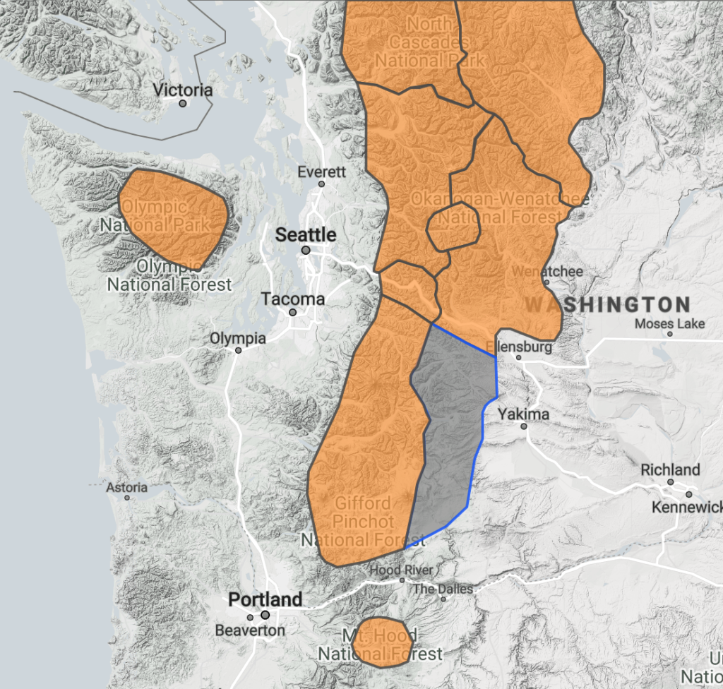
Northwest Washington
The region is experiencing a very large storm cycle and will continue to be hit by more events for the foreseeable future. It has one of the only snowpacks in the Western U.S. that is above average. Two to 3 feet of snow have fallen in the past four days throughout the region. Reported snowpack depths of 110 to 120 centimeters. Light rain and snow is forecasted for the next few days, followed by an atmospheric river event late Saturday and Sunday.
The snowpack situation is described as complex and dangerous. All zones are currently rated at considerable. The layer of concern is a prominent Dec. 9 crust, with reports of a surface hoar layer a few inches above on certain aspects and elevations. This layer is buried up to 3 feet deep. Numerous human-triggered and natural avalanches, 2 to 3 feet deep, have been reported recently. The current situation combined with the weather forecast warrants traveling on low-angle terrain and giving the avalanche problem a wide berth.
Resources
Public Avalanche Forecast: NWAC
Weather Forecast and Weather Stations.
Recent Observations & Field Reports
Mt. Baker Ski Resort, Snow & Weather Report
Summit at Snoqualmie Resort, Conditions & Weather
WESTERN CANADA
A series of back-to-back weather systems accompanied by moderate snowfall, strong winds, and fluctuating freezing levels has left reactive storm and wind slabs in most regions in southern B.C.
South Coast Sea to Sky and Inland areas are seeing natural and skier-triggered activity with increasing storm snow depth that isn’t bonding that well to a melt freeze crust. The danger is forecast to elevated from considerable to high danger by Friday.
North and South Columbia
The developing storm cycle is leaving similar conditions in the North and South Columbia regions with several weak layers buried between 40 and 60 centimeters deep. While smaller avalanches have been reported earlier this week, the worry is that the deeper layers could become reactive and result in larger, more destructive avalanches. Glacier Park is reporting high danger in the alpine and observed several large avalanches running full path Wednesday night.
Southern Rockies
The same systems that stretched out across the province this week did reach the Southern Rockies, depositing 10 to 20 centimeters of storm snow. This overlies 30 to 50 centimeters from the past week. While the skiing is great, the combo of storm snow and wind has created reactive wind slabs in most exposed areas. Banff, Kootenay, and Yoho parks are rating the alpine danger high right through Saturday and urging backcountry skiers to be cautious and vigilant with terrain choices.
Purcell Range
The Purcell range is the one region not sporting a high danger rating coming into the weekend. However, nature has written a pretty clear message in the snow: New snow, wind slabs, and more deeply buried weak layers encourage prudent terrain choices right now.
Resources—Western Canada
Public avalanche forecast and MIN trip reports: https://avalanche.ca
Mountain Conditions Report: https://mountainconditions.ca
Mountain Weather Forecast: https://www.avalanche.ca/weather/forecast
Wayne Flann Avalanche Blog https://www.wayneflannavalancheblog.com (South Coast Mountains)